Drone surveying and 3D scanning of sites and buildings
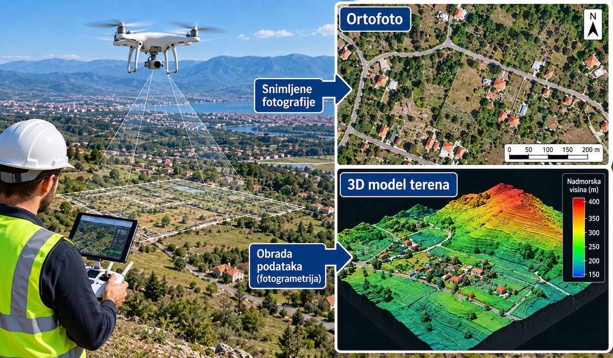
A drone is a tool that can make a surveyor's job easier. On a large site it can be faster, while for a small plot a conventional survey is often more practical.
Which method to choose
| Task | Method | Result |
|---|---|---|
| Plot of up to a few thousand m² | Conventional (GNSS, total station) | Site plan / topographic plan |
| Large or hard-to-reach land | Drone (photogrammetry) | Orthophoto, digital terrain model, contour lines |
| Volumes: quarry, landfill, excavation | Drone | Volume calculations |
| Façades, interiors, reconstruction | 3D laser scanning | Point cloud, 3D model, 2D drawings |
| Cadastral boundaries | Conventional + on-site checks | Accurate boundary points |
What to watch out for
- In cadastral procedures a drone is an auxiliary tool; boundaries are confirmed by measurement on the ground.
- Drone flying is subject to rules and no-fly zones (airports, military sites). Complying with them is the contractor's responsibility.
- Before hiring, check the required accuracy and whether ground control points are planned.